
The Wapser Boermarke route
3 hours 10 minutes
(16 km)
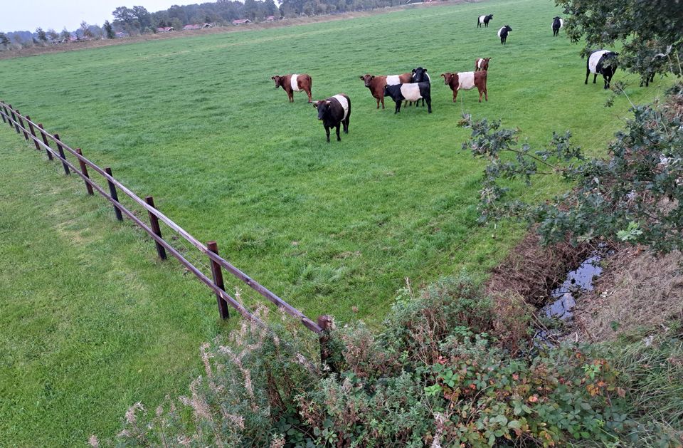
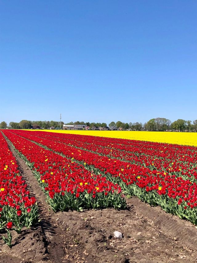
Past the old farmhouses of the medieval hamlets that make up Wapse, take a trip across the Berkenheuvel estate and the Wapserveld. The woods of Berkenheuvel are among the most beautiful parts of the Drents-Friese Wold National Park. In the woods, you will visit the hiding place, where dramatic events took place during the Second World War. At the Pottiesbargien, you stand on the spot where a complete hunebed was demolished in 1753, with written permission from the provincial government. The route takes you along the dense wooded walls beyond the Soerte. In Ten Have, you will see how the farmers from Wapse have earned their living side by side here on the Binnenesch for more than 1,200 years.
Parking and public transport: cars and bicycles can be ...
Past the old farmhouses of the medieval hamlets that make up Wapse, take a trip across the Berkenheuvel estate and the Wapserveld. The woods of Berkenheuvel are among the most beautiful parts of the Drents-Friese Wold National Park. In the woods, you will visit the hiding place, where dramatic events took place during the Second World War. At the Pottiesbargien, you stand on the spot where a complete hunebed was demolished in 1753, with written permission from the provincial government. The route takes you along the dense wooded walls beyond the Soerte. In Ten Have, you will see how the farmers from Wapse have earned their living side by side here on the Binnenesch for more than 1,200 years.
Parking and public transport: cars and bicycles can be parked along the road Please take care not to obstruct other road users and leave sufficient space for through traffic.
Signposting: This route has no signposting.
Children and wheelchair: The route largely follows unpaved paths and is therefore less suitable for prams and wheelchairs.
Dogs: Allowed. Provided they are leashed.
You are going to see this
-
Nijenhof
Nijenhof
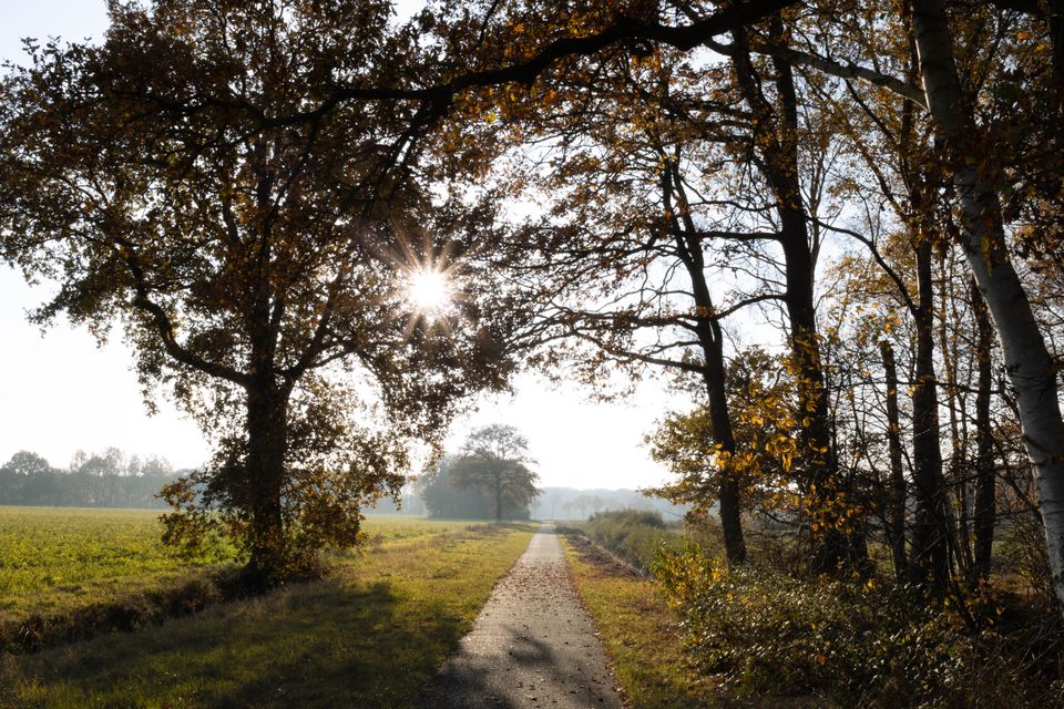
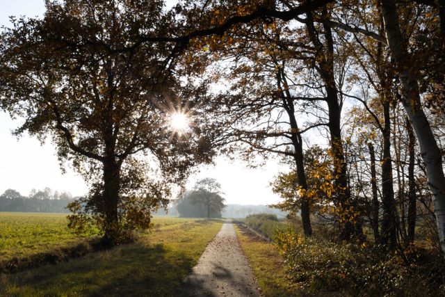
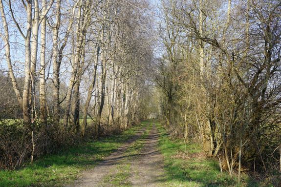
The sandy path near the Nijenhof in Wapse is a quiet, rural path that runs between meadows and wooded banks. It is a typical Drenthe sandy path that gives a good sense of the old atmosphere of the esdorpen landscape.
-
67
-
69
-
56
-
53
-
55
-
Watch tower Wapse
Watch tower Wapse
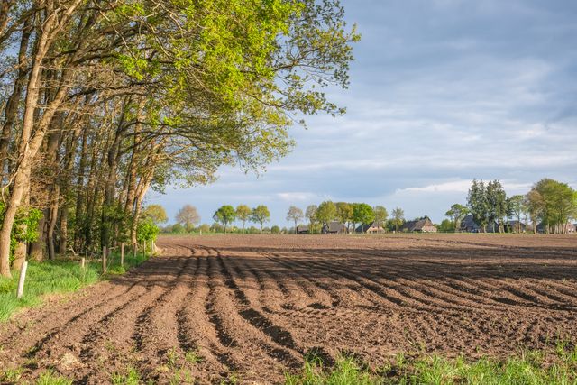
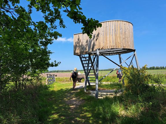
Wapse's watchtower is located behind Camping Noorderveld. From here you have a wonderful view over the farmlands of Wapse.
-
58
-
66
-
83
-
83
-
Kerkenkampsweg
Kerkenkampsweg
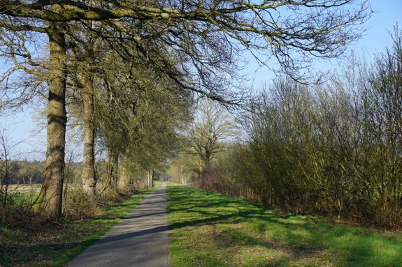
Via Kerkenkampsweg you can walk or cycle straight into the Drents-Friese Wold.
-
The Zero Wapse
The Zero Wapse
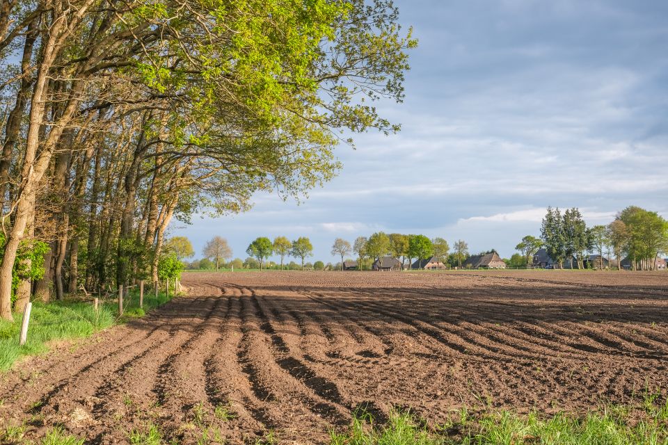
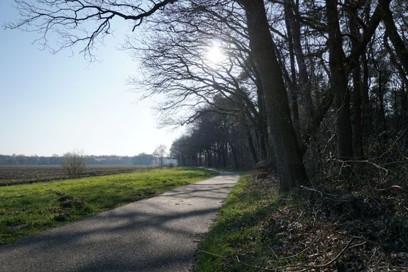
At De Nul, you look out over the farmlands of Wapse. It is an open, expansive point in the landscape and at the same time lies on the edge of the Drents-Friese Wold, where farmland and woodland come together beautifully.
-
56
-
56
-
58
-
Hiding place De Wigwam - Diever
Hiding place De Wigwam - Diever
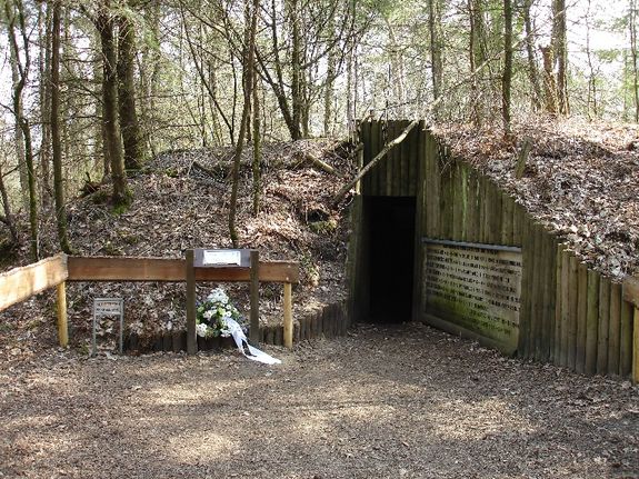
Deep in the forests of the Drents-Friese Wold, on the Berkenheuvel estate, you will find the Diever hiding place. This underground forest hut made of concrete is supported by posts and has a stone ge...
-
65
-
69
-
52
-
52
-
61
-
Sheep region
Sheep region
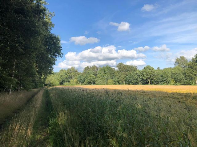
The Schapenstreek is a narrow cycle path that winds between the trees, a quiet and green stretch of route where you really ride in the middle of nature.

-
50
-
38
-
35
-
50
Description
You can start this route at different places and you can also choose to walk it in sections. If you start at node 34, you then follow this sequence: 67 → 69 → 56 → 53 → 55 → 58 → 66 → 83 → 56 → 58 → 65 → 69 → 52 → 61 → 50 → 38 → 35 → 34.
- 67
- 69
- 56
- 53
- 55
- 58
- 66
- 83
- 83
- 56
- 56
- 58
- 65
- 69
- 52
- 52
- 61
- 50
- 38
- 35
- 50