
Twee Veenen
1 hour 20 minutes
(5.7 km)
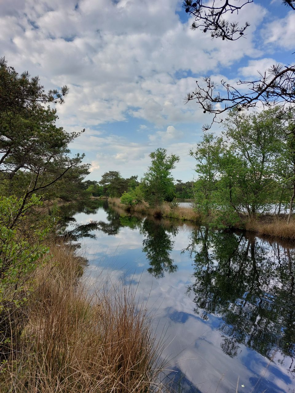
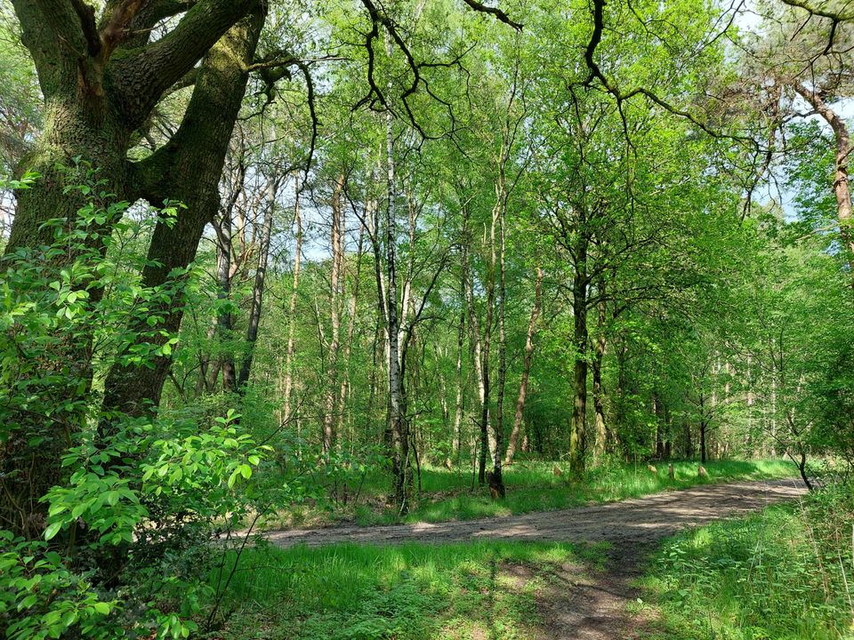
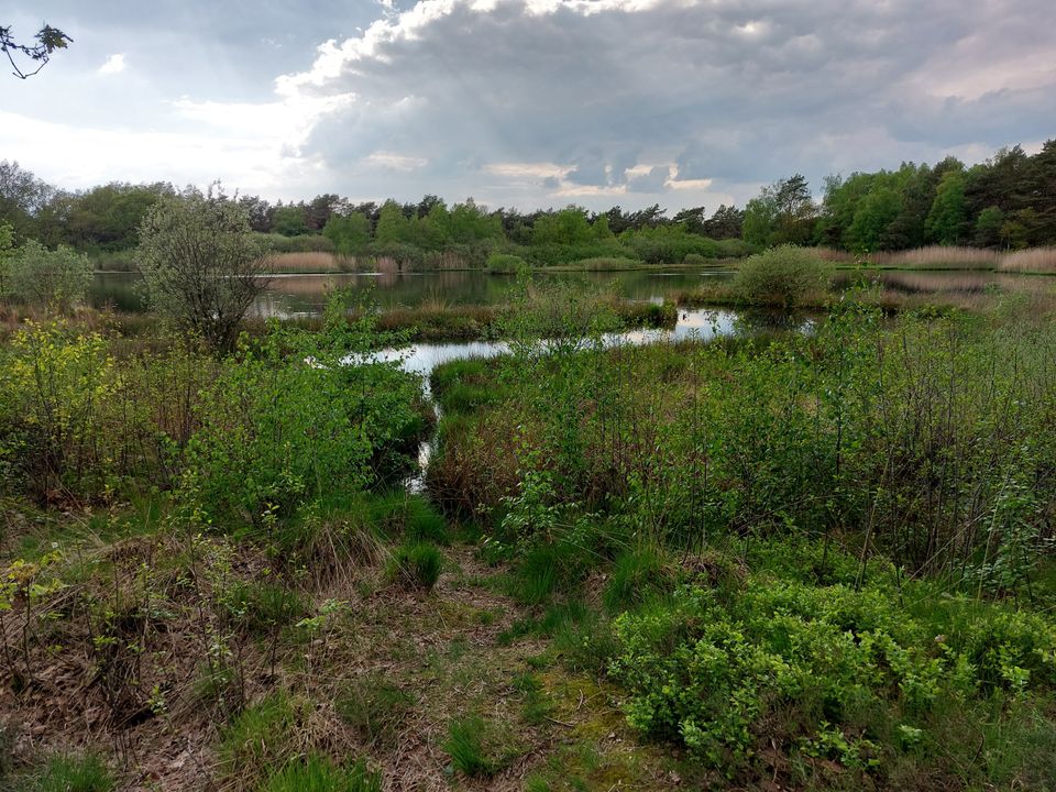
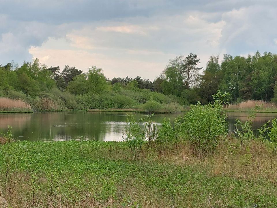
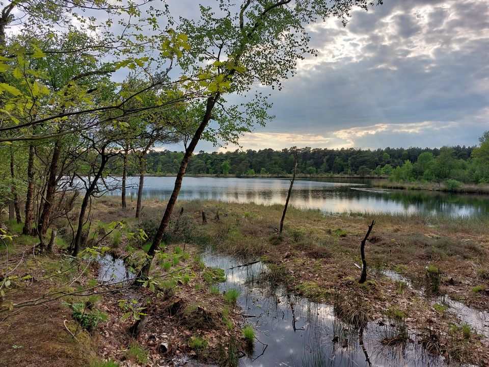
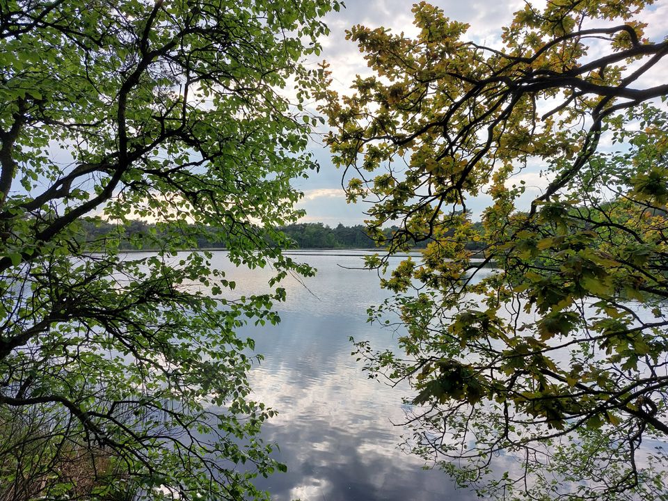
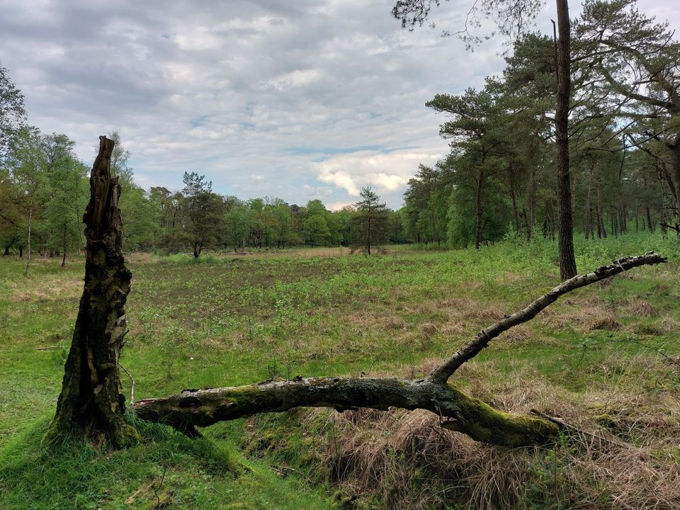
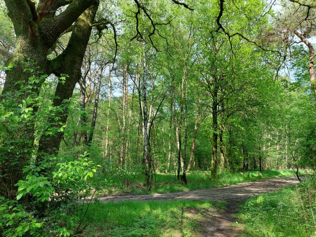
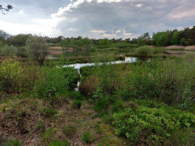
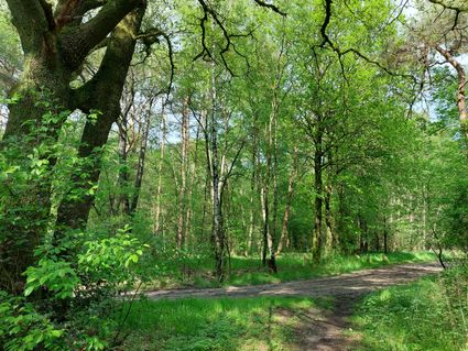
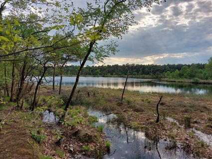
The Wittelter Ommetje Twee Veenen is a signposted 5.8 km route that runs alongside and through the woods in the northern part of the Holtingerveld nature reserve. Deep in the woods, you’ll pass two forest ponds: the picturesque Booijsveen and the expansive Brandeveen. The start and finish are on the outskirts of Wittelte at walking junction 17. The route is unpaved throughout. The edge of the woods offers lovely views. Within the woodland, the vegetation alternates between dense and open patches, with a wide variety of tree species.
Parking and public transport
The starting point (and also the finishing point) is at walking junction 17 on the southern edge of the hamlet of Wittelte, where the narrow road De Broeken turns at a right angle by the woods, and where there is ample parking. If you’re travelling by public transport (bus), you’ll need to get off at the Wittelterbrug stop. From there, it’s a 1.1 km walk, via Wittelterweg and De Broeken, to the starting point.
Signposting…
The Wittelter Ommetje Twee Veenen is a signposted 5.8 km route that runs alongside and through the woods in the northern part of the Holtingerveld nature reserve. Deep in the woods, you’ll pass two forest ponds: the picturesque Booijsveen and the expansive Brandeveen. The start and finish are on the outskirts of Wittelte at walking junction 17. The route is unpaved throughout. The edge of the woods offers lovely views. Within the woodland, the vegetation alternates between dense and open patches, with a wide variety of tree species.
Parking and public transport
The starting point (and also the finishing point) is at walking junction 17 on the southern edge of the hamlet of Wittelte, where the narrow road De Broeken turns at a right angle by the woods, and where there is ample parking. If you’re travelling by public transport (bus), you’ll need to get off at the Wittelterbrug stop. From there, it’s a 1.1 km walk, via Wittelterweg and De Broeken, to the starting point.
Signposting
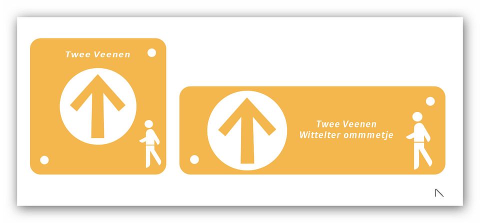
The route is signposted with ochre-yellow signs bearing the text ‘Wittelter Ommetje Twee Veenen’ (on the junction posts) or simply ‘Twee Veenen’ (on the intermediate posts) and a directional arrow.
Dogs
Dogs are allowed, provided they are kept on a lead.
Food and drink
Near the starting point of the walk, there is a rest stop for walkers and cyclists (De Broeken 5).
Shops and restaurants can be found in the nearby villages of Diever, Dieverbrug and Dwingeloo.
-
Signposts
Route marked with ochre-yellow signposts.
Signposts
Route marked with ochre-yellow signposts.
You are going to see this
17
Starting point:
Walking junction 17
Wittelte
Navigate to the starting point
10
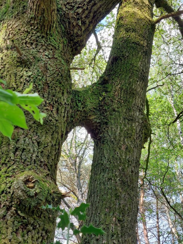
Siamese Twins
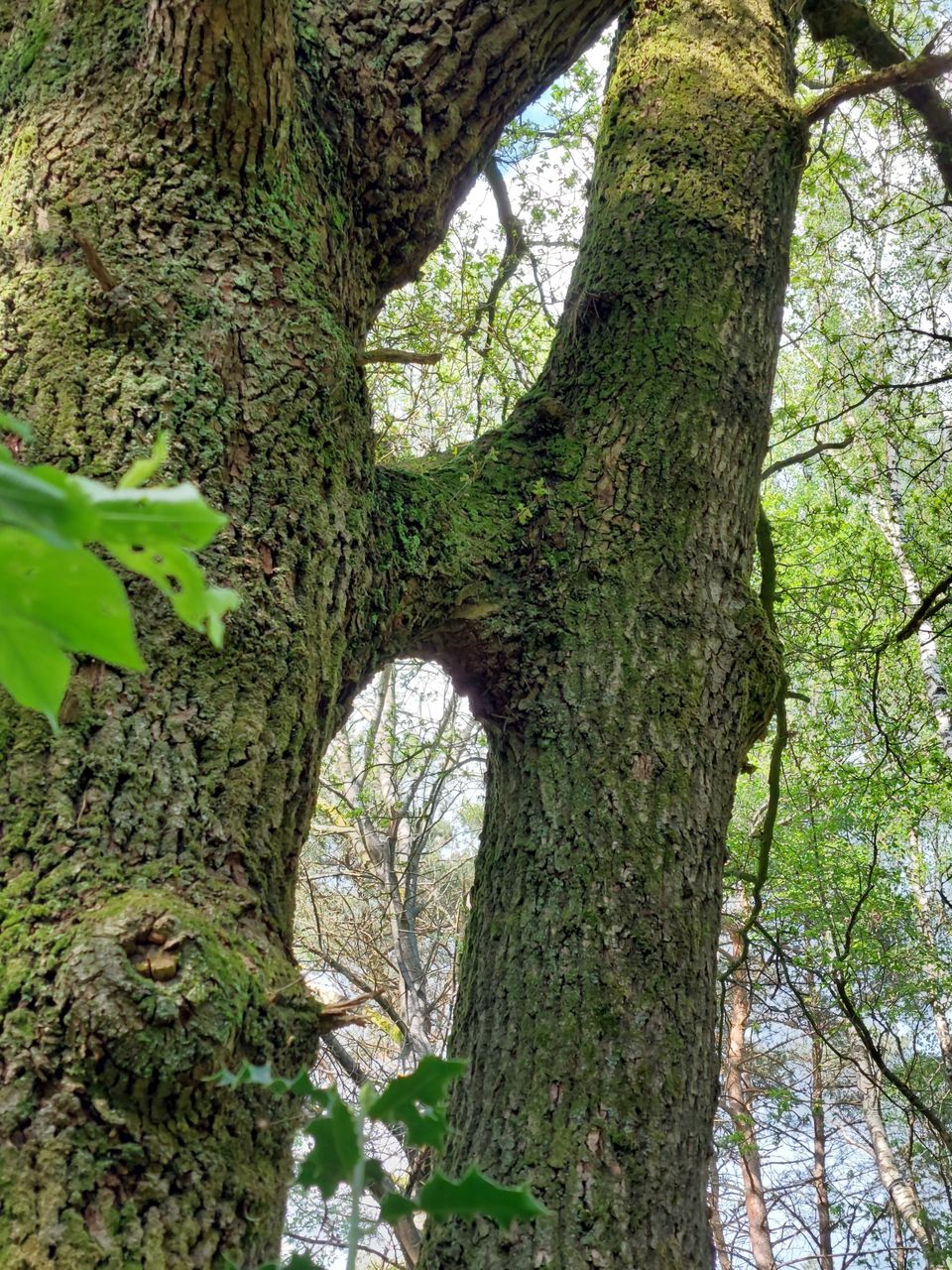
Tightly intertwined trees. Between junctions 10 and 31, about 180 metres past junction 10, as the signposted path takes a sharp right-hand bend, you’ll see these trees joined together by a cross-branch. You can also take the narrow forest path straight ahead here to take the short ‘alternative’
31
70
Booijsveen
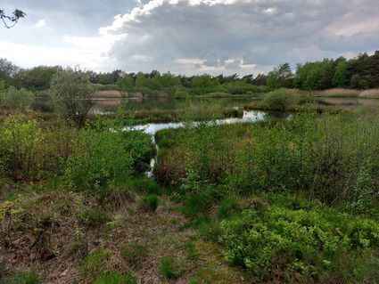
The picturesque Booijsveen is the only place in the Netherlands where the broad yellow-edged water beetle is found (reference: Hans Dekker: Ooster- en Westerzand. In: quarterly magazine *Het Drentse Landschap*, no. 116, November 2022, pp. 6–9.). The fen, formed by peat cutting, bears the family’s name.
68
02
11
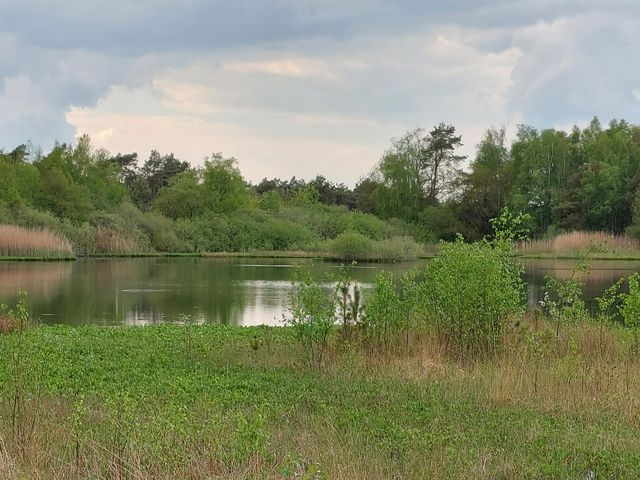
Brandeveen
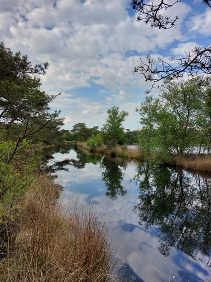
The Brandeveen was purchased by Natuurmonumenten in 1919, making it the organisation’s oldest site in Drenthe. In the November 2022 issue (no. 116) of the quarterly magazine *Het Drentse Landschap*, Bertus Bolvin and Melle Buruma recount the story doing the rounds about how Brandeveen got its name........
17
End point:
Walking junction 17
Wittelte
Navigate to the end point
Description
17
Starting point:
Walking junction 17
Wittelte
Navigate to the starting point
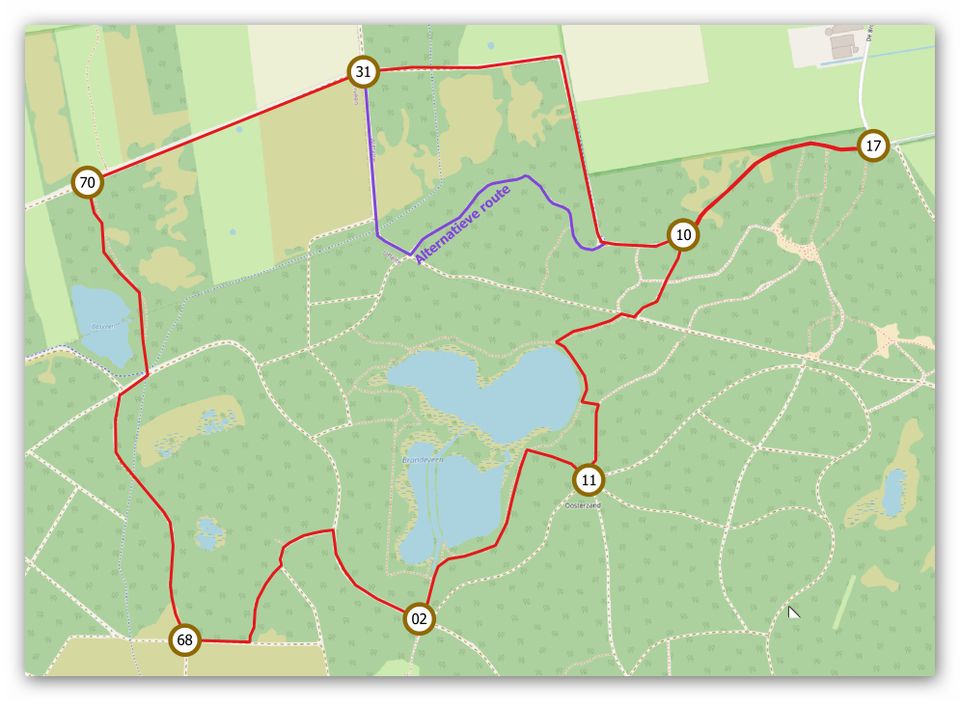
Twee Veenen always follows the routes of the walking junction network (from junction 17 westwards to, in succession, 10, 31, 70, 68, 02, 11 and back to 10, where the loop is complete and you turn right to return to junction 17) and is additionally signposted with ochre-yellow signs bearing the words ‘Twee Veenen’.
Between junctions 10, 31 and 70, you’ll walk a long stretch along the edge of the woodland. A lovely alternative to this (more woodland, less forest edge) is, about 100 metres past junction 10 – where the cycle path and the wide path next to it turn sharply to the right – not to turn right but to carry on straight ahead, into the woodland, via a narrow, winding path. Please note: this section of the alternative Twee Veenen route is not signposted! After about 50 metres, ignore a turn-off to the left. After about 300 metres, you’ll reach a four-way junction in a small grassy clearing: turn right there. Be careful: after about 100 metres, this path crosses a cycle path: keep going straight on there and after about 200 metres you’ll reach the edge of the woods again, at a four-way junction by junction post 70. There, rejoin the signposted route. Turn left there towards junction 68 and continue to follow the ‘Twee Veenen’ signposts.
17
End point:
Walking junction 17
Wittelte
Navigate to the end point
- 17
- 10
- 31
- 70
- 68
- 02
- 11
- 17