Riding route Gijsselterkoelen Boswachterij Ruinen
(7.8 km)
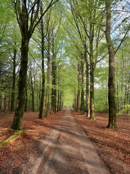
This signposted bridleway of almost 8 kilometres leads you through the Boswachterij Ruinen with woods, ponds and sands; a wonderfully varied area. Taste the atmosphere of the wild and empty Drenthe of almost a century ago. The conifers are increasingly giving way to deciduous trees, attracting more birds.
Parking
Parking area Gijsselterweg Ruinen
The car park is located in the woods to the (south)west of Gijsselterweg and can be reached via a cobblestone road about 500 metres from Gijsselterweg. Coming from Hoogeveen, you have to turn left on Gijsselterweg into the woods at the level of Echtensedijk. Coming from Ruinen you have to turn right into the woods at the level of the Echtensedijk. The GPS coordinates of the car park are 52.743155, 6.416572.
Car park Ruinerweg Echten
The car park is located i...
This signposted bridleway of almost 8 kilometres leads you through the Boswachterij Ruinen with woods, ponds and sands; a wonderfully varied area. Taste the atmosphere of the wild and empty Drenthe of almost a century ago. The conifers are increasingly giving way to deciduous trees, attracting more birds.
Parking
Parking area Gijsselterweg Ruinen
The car park is located in the woods to the (south)west of Gijsselterweg and can be reached via a cobblestone road about 500 metres from Gijsselterweg. Coming from Hoogeveen, you have to turn left on Gijsselterweg into the woods at the level of Echtensedijk. Coming from Ruinen you have to turn right into the woods at the level of the Echtensedijk. The GPS coordinates of the car park are 52.743155, 6.416572.
Car park Ruinerweg Echten
The car park is located in the forest to the west of Ruinerweg and is accessible via a semi-paved road about 200 metres from Ruinerweg. Coming from Ruinen, it is about 400 metres after passing 't Boshuys Echten. Coming from Echten it is ca. 400 metres driving after passing the entrance of the Bovenveen. The GPS coordinates of the car park are 52.730404, 6.383410.
Signposting
The riding and driving route is signposted with green square signs with the imprint of a horseshoe.
Please note: the maps give only an indication of the route. Due to wet paths, fallen trees or other unforeseen circumstances, the route in the field may deviate or be temporarily modified. Therefore, always follow the on-site signposting.


You are going to see this
-
Car park Ruinerweg Echten
Car park Ruinerweg Echten
Parking is located in the forest west of Ruinerweg. The GPS coordinates car park are 52.730404, 6.383410.

-
Forestry Ruinen
Forestry Ruinen
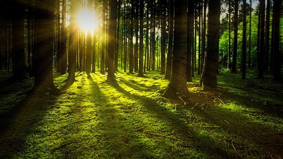
Boswachterij Ruinen, a 1,000-hectare forest and heathland area, was created in 1940 from a former peat, heath and shifting sand area. Largely consisting of conifers, with limited present...
-
Gijsselterkoelen
Gijsselterkoelen
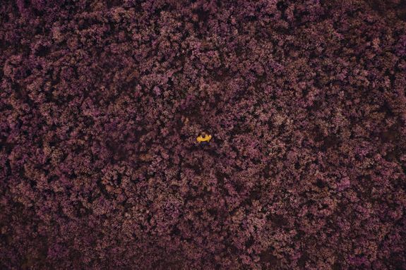
Gijsselterkoelen is a peaceful heathland area where vast purple expanses alternate with fens and ponds. The open landscape, the tranquillity and the natural surroundings make it a lovely place to...
-
Parking area Gijsselterweg Ruinen
Parking area Gijsselterweg Ruinen
Parking is located in the forest to the (south)west of Gijsselterweg. The GPS coordinates of the car park are 52.743155, 6.416572.
-
-
Car park Ruinerweg Echten
Car park Ruinerweg Echten
Parking is located in the forest west of Ruinerweg. The GPS coordinates car park are 52.730404, 6.383410.