
Friesewold
(44 km)
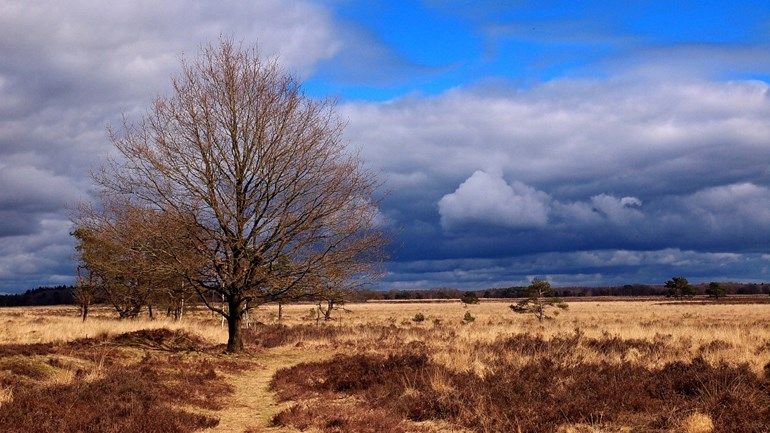
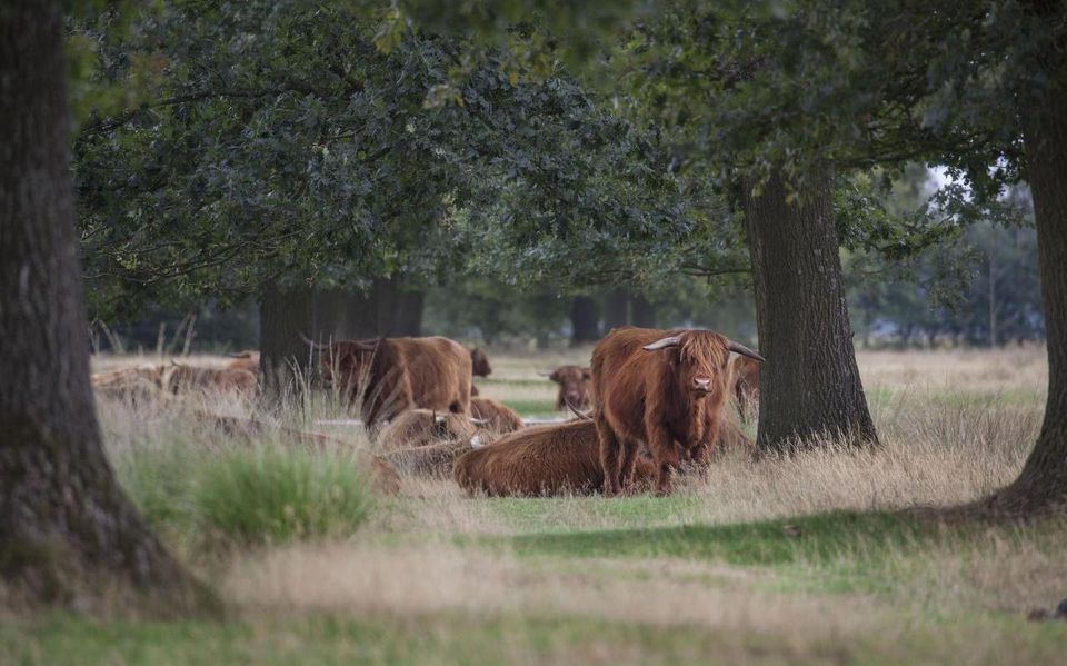
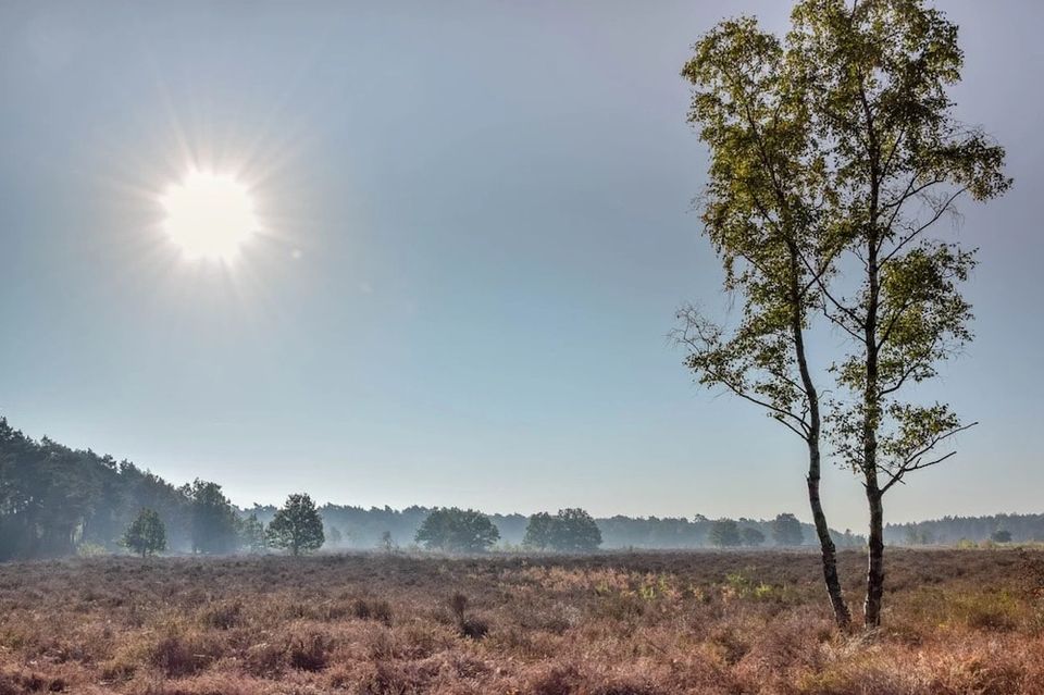
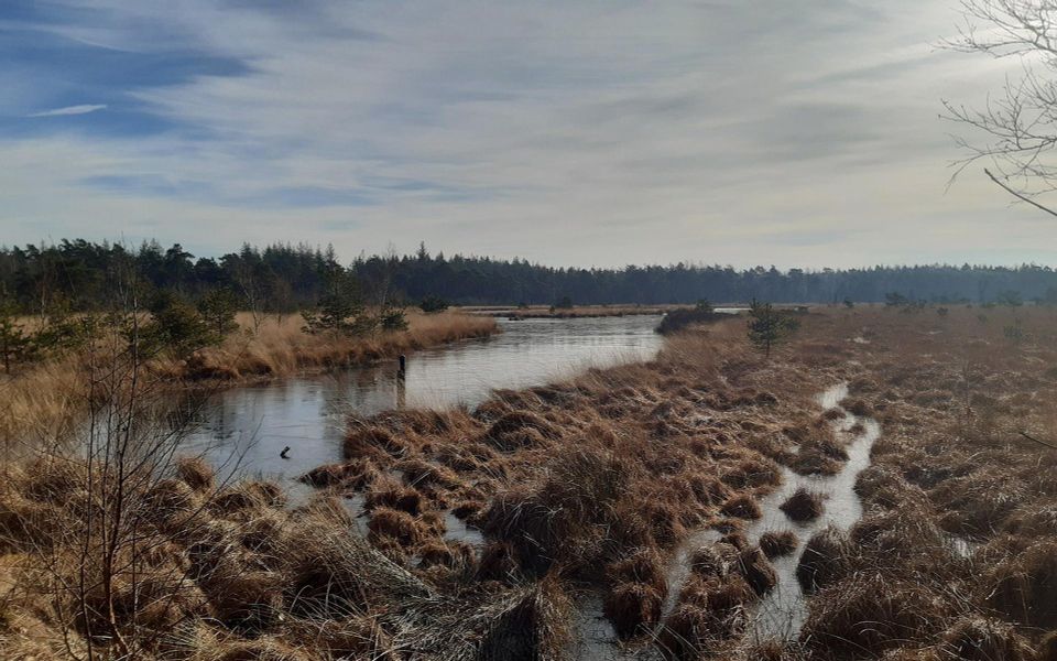
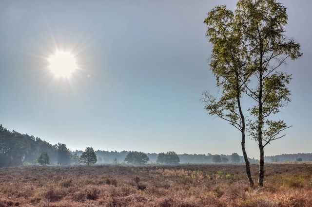
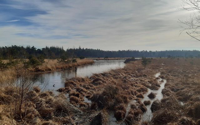
This route passes through the beautiful Drents-Friese Wold nature reserve, making it perfect for nature lovers. It’s therefore an ideal route if you love the outdoors. The Drents-Friese Wold is, in fact, one of the largest contiguous woodlands in the country. Here, you’ll wander from sand drifts to small ponds, from heathland to marshland. And you’ll still see the typical ‘esdorp’ landscape here: rounded fields surrounding the villages and stream valleys full of blooming flowers.
Parking
You can park at the visitor centre Grenzeloos Doldersum Boijlerstraat 12 8386XE Doldersum. Inside the visitor centre you will find more information about the surrounding area.
Signposting
The route is not signposted. You can download it via the 'Download' button at the top. Note: the route is therefore not very detailed.
Food & drink
Fancy something to eat or drink during this cycle tour? You can find a range of places to eat and drink in Doldersum, Zorgvlied, Oosterwolde and Terwisscha.

You are going to see this
Visitor centre | Boundless Doldersum
Boundless is located in a unique piece of culture/nature. Before you start your walk or bike ride, it is highly recommended to come and have a look at our visitor centre. From...

Doldersum
Doldersum is a small esdorp and possibly the oldest village in the former municipality of Vledder. Nearby are "the Major" and "the General ", two old burial mounds from the late Stone or Iron Age. North of Doldersum lies the Doldersummerveld.
Boschoord estate
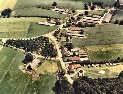
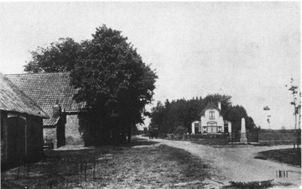
Landgoed Boschoord is a special area on the southern flank of the Drents-Friese Wold. It covers 650 hectares and consists largely of forest, but there are also peat bogs and fens with high nature values.
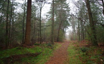
Jewish cemetery
The name Jodenkerkhof occurs at a small plot about 1.25 m higher on the road from Doldersum to Boijl. In 1833, archaeologist C.J.C. Reuvens searched for this spot and called it "Smousenkerkhof."
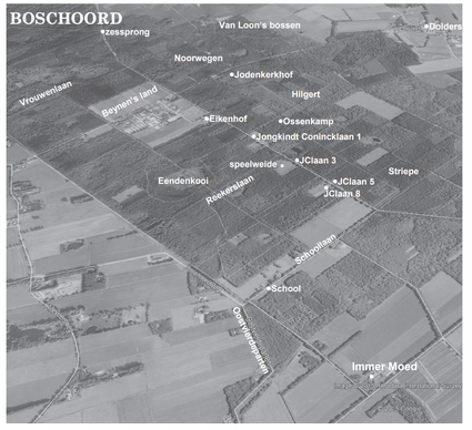
Boschoord
Boschoord is a hamlet in the municipality of Westerveld in the Dutch province of Drenthe. The hamlet is located near the border with the province of Friesland between Boijl and Doldersum. The origins of Boschoord are linked to the history of the Maatschappij
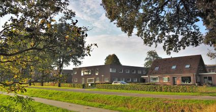
Vrouwenveld
In the forests of Boschoord lies the Avenue of Women. Here, the former moorland also bears the special name Vrouwenveld. Naturally, a Vrouwenlaan leads from Boschoord to the Vrouwenveld.
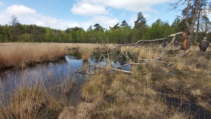
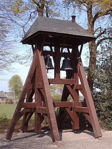
Bell tower in Langedijke
The belfry in Langedijke is a unique and historic structure that is characteristic of Frisian villages. This wooden belfry, which has no associated church, houses a single...

Butterfly sanctuary
Drenthe's Doldersummerveld has been declared a butterfly reserve by De Vlinderstichting. The area is home to rare butterflies and the manager, Stichting Het Drentse landschap.
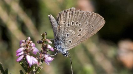
Traces in the field
Over the past decade, patterns of ancient routes between different towns have been discovered on the moors in Drenthe. From the early Middle Ages until the 18th century, carts, carriages and carriages followed these routes.
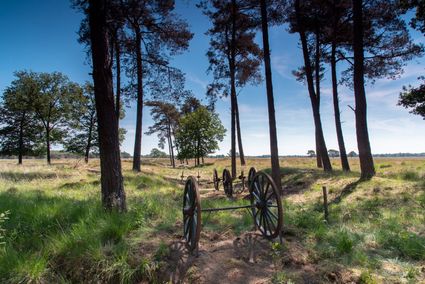
Ruyter de Wildtlaan
In 1859, the land and school were sold to J.F.de Ruyter de Wildt, a distant relative of the famous admiral. De Ruyter de Wildt built, among other things, the villa 'Castera Vetera', which was completed in 1862.
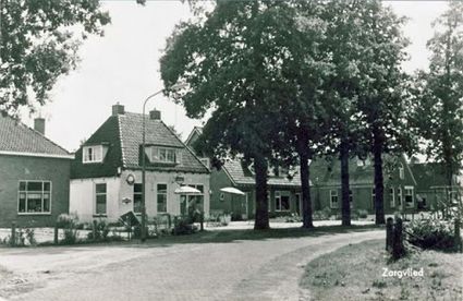
Zorgvlied
Zorgvlied is a village in the municipality of Westerveld and belonged to Diever until 1998. It lies northwest of Diever and northeast of Vledder. In a worse sense, northwest of Wateren and north of Doldersum, against the Drents-Friesian border.
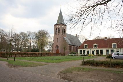
Nature lake Canada Lake
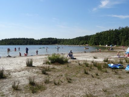
Lake Canada (Aekingermeer) is located in the beautiful Drents-Friese Wold National Park between Appelscha and Wateren. The swimming lake has a wide sandy beach averaging 10 metres. There is a kiosk...
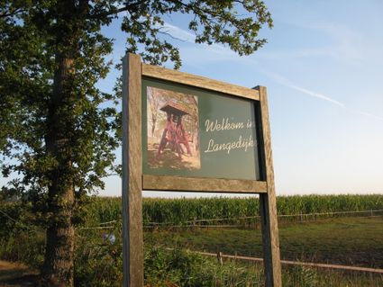
Lange Dijke
Langedijke is a village in the municipality of Ooststellingwerf, in the Dutch province of Friesland. It is situated 2 km from Oosterwolde and 4 km from Appelscha, close to the Drents-Friese Wold National Park. It is by far the smallest village in Ooststellingwerf.
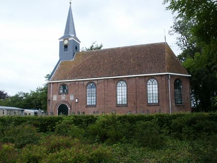
Oosterwolde Village Church
The Dorpskerk was built in 1735 to replace a medieval church. The ridge turret collapsed and was rebuilt in 1790. It is a hall church closed on three sides with a wooden façade tower. In addition to...
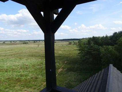
Watch tower Doldersummerveld
Lookout tower Doldersumse Veld, better known as the 'Polish' lookout tower. From the watchtower you have a great view over the heathland. At the beginning of July, the fields are yellow due to the flowering...
Bell tower in Fochteloo
Bell tower housing two 14th-century bells by anonymous founders, with diameters of 73.6 cm and 69.3 cm respectively.
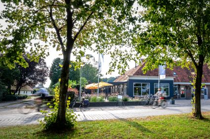
End point Visitor Centre Boundless Doldersum
We hope you enjoyed the surroundings, come and enjoy a snack or drink in the restaurant at Boundless. Current opening hours can be found on the site of grenzeloos-drenthe.nl (at the bottom of each page).
Description
Visitor centre | Boundless Doldersum
Boundless is located in a unique piece of culture/nature. Before you start your walk or bike ride, it is highly recommended to come and have a look at our visitor centre. From...
- The starting point is in the village of Doldersum. Doldersum is an esdorp in the municipality of Westerveld, in the province of Drenthe. The village has a population of around 120. Doldersum is situated north-west of Dwingeloo and north-east of Vledder. Doldersum borders the Drents-Friese Wold National Park. The Vledder Aa, the stream near Doldersum and the Doldersummerveld, a heathland area managed by the Het Drentse Landschap foundation, form part of that park. The upper reaches of the Vledder Aa were restored in 2002 and 2003. The stream, which had been channelled in the early 1960s, has been restored to its original course. The rich topsoil has been stripped away. Nature is now set to reclaim the area between Doldersum and Wateren.
- The first village you pass through is Zorgvlied. Zorgvlied is a village in the municipality of Westerveld and was part of Diever until 1998. It lies north-west of Diever and north-east of Vledder. More specifically, it lies north-west of Wateren and north of Doldersum, right on the border between Drenthe and Friesland.
- The place takes its name from the defunct Huize Zorgvlied property. Zorgvlied lies in the working area of the Maatschappij van Weldadigheid, founded in 1818. Also in that year, the organisation's Agricultural Institute was built here. Here, civil servants were trained for managerial positions within the Maatschappij to transform the poor from the towns in the colonies into small farmers. in 1859, the school was dissolved and sold to De Ruyter de Wildt, a descendant of Michiel Adriaanszoon de Ruyter. The building later came into use as a guest house. After a thorough renovation in 1978, it now consists of four homes for the elderly, next to the current Catholic church.
Today, Zorgvlied is mainly a recreational village, with a few campsites in the area. - If you continue on your way, you will arrive at Langedijke. Langedijke is a village in the municipality of Ooststellingwerf, in the Dutch province of Friesland.
The village originated along a road lined with several farms standing close together. The name (literally ‘long road’) still refers to this. It is also home to one of Friesland’s ‘Klokkentstoelen’. It houses a bell dating from 1300; presumably the oldest bell in Northern Europe. The bell may have come from a remote monastery that once stood near Langedijke.
The village itself was first mentioned in 1408 as Langedijc. In 1500, it was recorded as Laigedick and had become a parish in its own right. By 1640, there were 12 farms with the right to vote on matters of justice within the village area. - As well as the village, it also comprised the hamlets of Klokhuis and De Dijk, but these are no longer regarded as separate places. Klokhuis was situated on the Steenmaatsdijk and the northern tip of the Klokhuisdijk, which merges into the hamlet of Laagduurswoude. De Dijk comprised the settlement on the Iegepoeldijk, which lies in the southern extension of the village and merges into the hamlets of De Bult and Terwisscha.
- You will then arrive at the village of Oosterwolde. Oosterwolde is a village and, since 1886, the administrative centre of the municipality of Ooststellingwerf in the Dutch province of Friesland. The village is situated five kilometres from Appelscha. The Opsterlandse Compagnonsvaart, which forms part of the Turfroute, cuts through the village, which originated from the merging of a few village greens. Of these, the Oostenbrink is the best preserved. In the 19th century, Oosterwolde developed mainly along the canal, where most of the industrial activity took place.
- The stream valleys and sand ridges around Oosterwolde were home to hunter-gatherers from the end of the Old Stone Age, the Late Palaeolithic period. Small campsites with hearths and flint artefacts have been found along the Tjonger near Jardinga and Lochtenrek. Lochtenrek is the area near an old crossing point over a meander of the Tjonger between Oosterwolde and Makkinga. Since 2017, Lochtenrek has been the name of a bridge on the N381 crossing the Tjonger.
- The last village you pass through is Fochteloo. Fochteloo is a village in the municipality of Ooststellingwerf, in the Dutch province of Friesland. It lies to the east of Oosterwolde and to the north of Appelscha. The place name may refer to ‘the damp forest’ that used to be located there. Since the 1930s, a labour camp had been established near Fochteloo as part of a job-creation scheme: Camp Ybenheer. During the Second World War, in the course of 1942, this camp was used by the German occupying forces as a labour camp for male Jewish workers, under the auspices of the Reich Labour Expansion Service. It was cleared on the night of 2–3 October of that year. All 215 camp inmates were transported to Camp Westerbork, and from there to Auschwitz and Sobibór.
- After the Second World War, the camp was used to house Moluccan KNIL soldiers and their families. Once they had been provided with permanent accommodation, the camp was temporarily used as a base and training ground for the Dutch army. Both camps were subsequently transferred to Natuurmonumenten, which has managed the sites ever since.
- On 2 October 2002, a memorial was unveiled at the site of the former Ybenheer camp to commemorate the camp. Of Camp Oranje, only the former roll call area remained as a reminder of the camp. In 2019, the camps were made accessible and fitted out with information for visitors, including those using wheelchairs or walking frames.
- Afterwards, you return to Grenzeloos and can take a look at the visitor centre Grenzeloos Doldersum for even more information.
End point Visitor Centre Boundless Doldersum
We hope you enjoyed the surroundings, come and enjoy a snack or drink in the restaurant at Boundless. Current opening hours can be found on the site of grenzeloos-drenthe.nl (at the bottom of each page).